Services
We help organizations unlock the full potential of LiDAR and geospatial data. From large-scale data processing and consulting to custom software development, we provide the expertise and technology required to transform complex datasets into actionable information. Contact us for more information about value-adding services and software consultancy.
Benefit from two decades of experience in LiDAR and geospatial data processing. We work closely with
research institutions, governmental agencies, and private companies to develop
sustainable and future-proof geospatial solutions. We support
organizations throughout the complete project lifecycle - from acquisition planning to operational
production workflows.
With years of hands-on experience in LiDAR data acquisition, we have successfully completed projects
covering a wide range of environments, from dense urban areas to challenging high-alpine terrain.
Our expertise
includes airborne LiDAR (helicopters and UAVs), as well as terrestrial and mobile mapping
systems.
Every project has unique requirements, and different environments demand different acquisition
strategies. The quality of any downstream LiDAR product is determined by the quality of the acquired
data. Drawing on our experience, we help define the acquisition requirements needed to ensure the
collected data provides the optimal foundation for accurate, reliable, and fit-for-purpose
processing results that meet your project objectives.
Processing Services
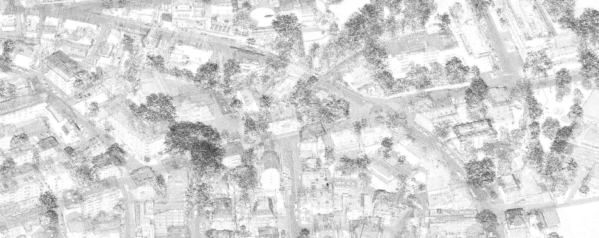
Whether you require a tree cadastre, solar cadastre, 3D city model, or other custom geospatial products, we deliver reliable, scientifically robust results through automated processing pipelines designed to efficiently handle large-scale datasets.
Our Capabilities
Efficient processing of airborne, mobile, terrestrial, and UAV point clouds and other geospatial datasets - from individual projects all the way to nationwide datasets containing billions of points.
Automated extraction of actionable information for buildings, vegetation, infrastructure, terrain, and other object of interests.
We deliver validated, analysis-ready datasets and tailored geospatial products optimized for planning, visualization, decision-making, and downstream workflows.
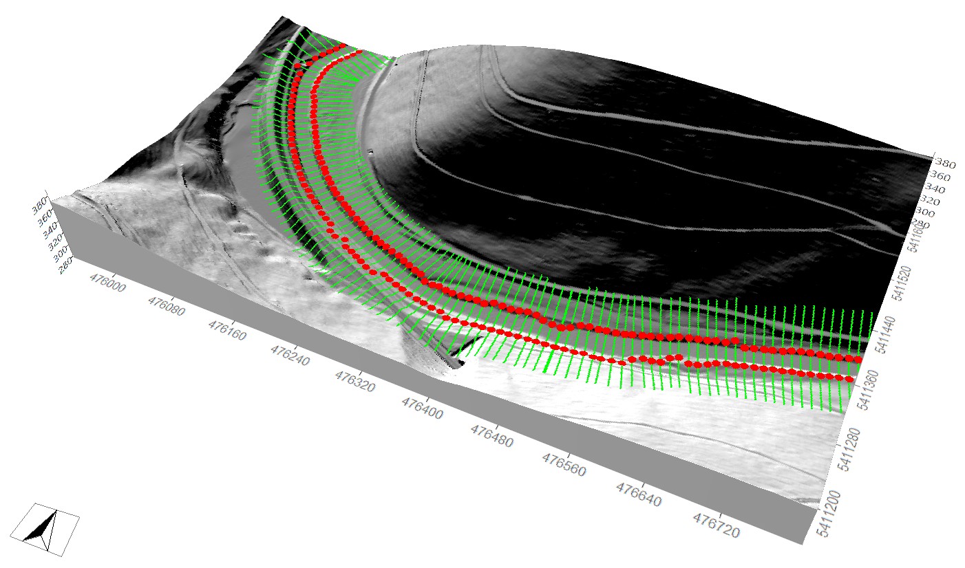
Selected Examples
Consulting Services
Our Capabilities
Planning and optimization of LiDAR acquisition campaigns, including recommendations for sensor configurations, acquisition parameters, and processing workflows to ensure the collected data meets your project requirements and objectives.
Design of efficient and scalable processing workflows tailored to your data, analysis requirements, and data volumes. We deliver implementation-ready workflow blueprints that provide a solid foundation for automated geospatial processing.
Design and implementation of scalable processing backends for automated geospatial data analysis. Powered by LIS Pro 3D, our solutions integrate seamlessly with your existing software, web portals, and enterprise workflows.
Development of tailored software solutions, plugins, and processing tools for specialized applications and operational environments.
Selected Examples
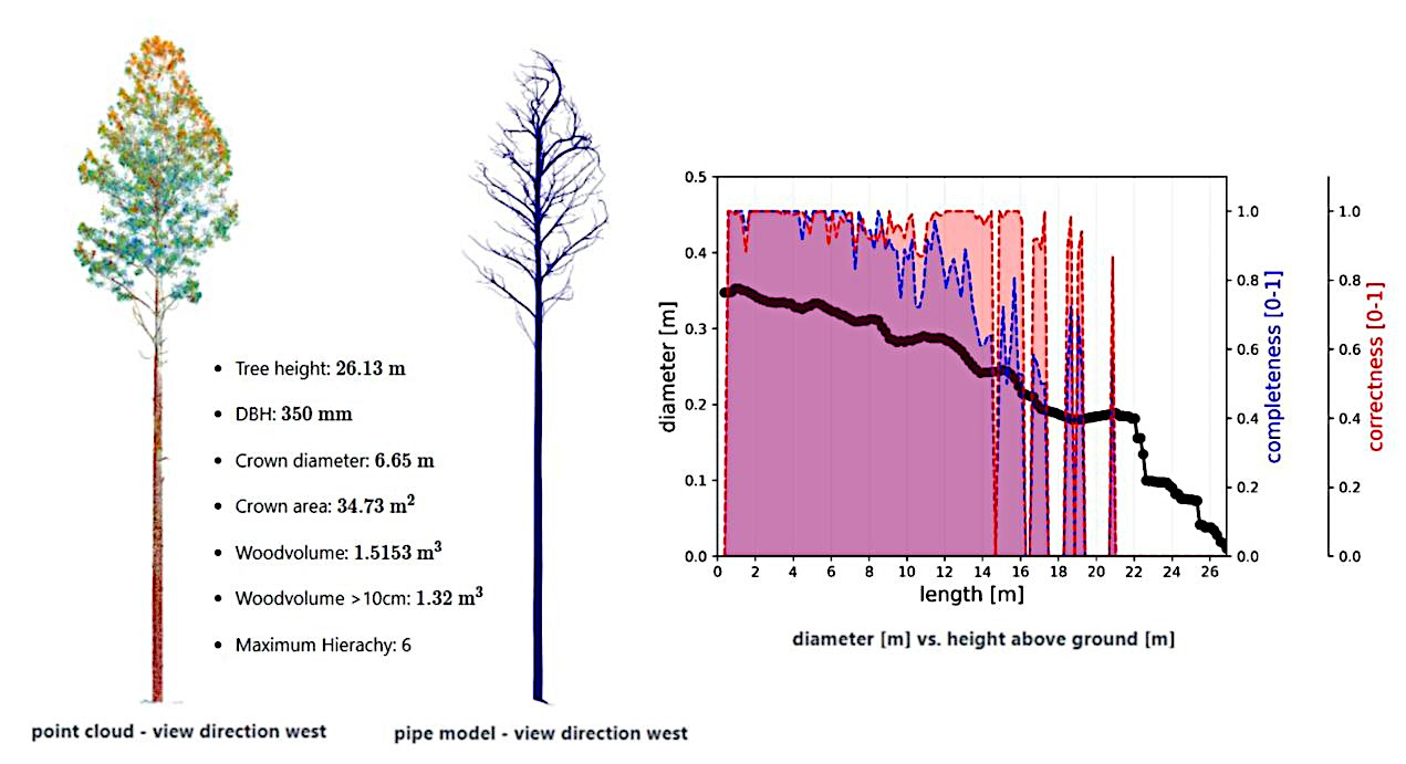
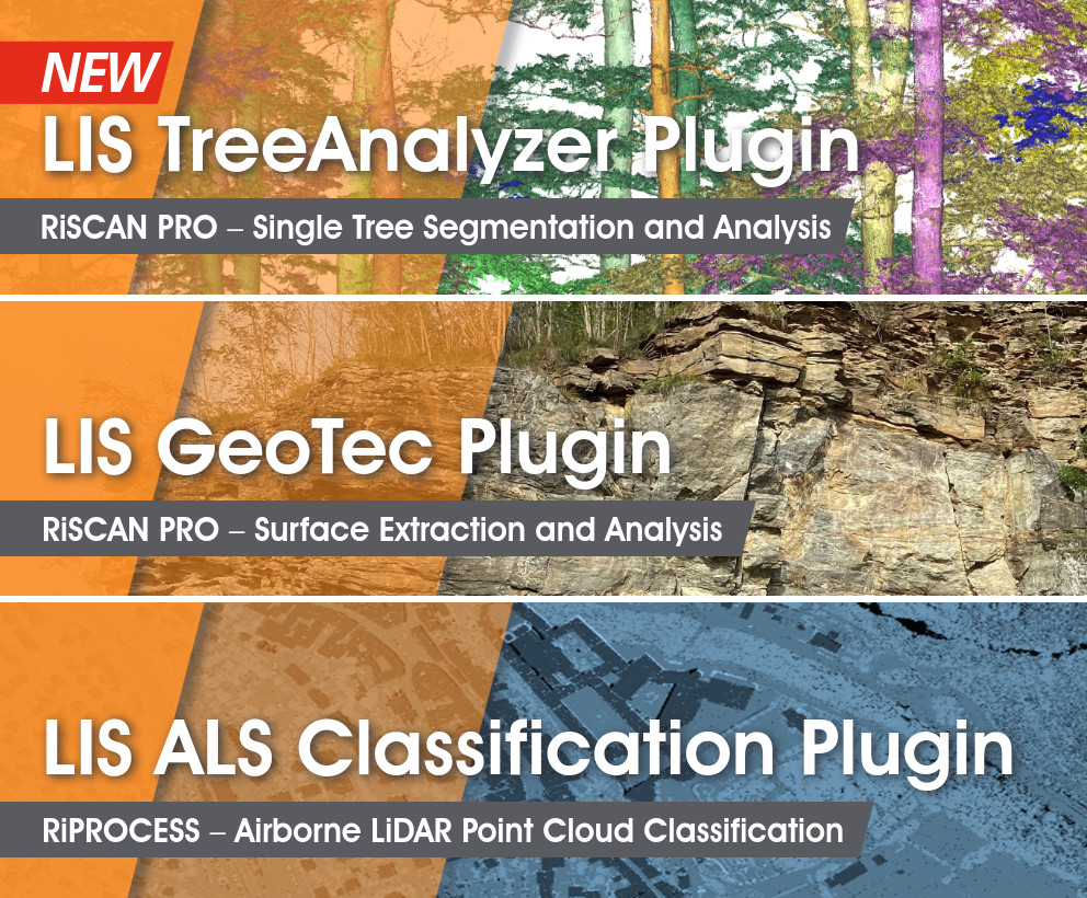
Development of several plugins for Riegl's RiSCAN Pro software for point cloud classification, estimation of tree parameters, and geological analysis.
Custom Software Development