Products
Details
Roof Solar Potential Analysis
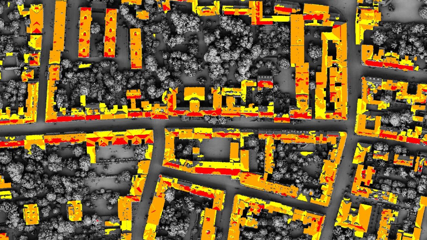
Assess rooftop photovoltaic potential across entire municipalities, regions, or countries using high-resolution surface models.
- State-, regional-, or municipality-wide coverage
- High-resolution solar irradiation modelling based on DSM data
- Monthly and annual solar energy estimates and sun- and shadow duration
- Meteorologically corrected irradiation values
- Separation of direct and diffuse radiation components
- Optional aggregation of results at building level
- Suitable for solar cadastres, planning, and energy transition initiatives
- Digital Surface Model (DSM)
- Building footprint polygons for per-building statistics (optional)
- Annual and seasonal (e.g., winter) energy totals
- Raster layers of monthly solar irradiation
- Meteorologically corrected total irradiation
- Direct and diffuse radiation rasters
- Optional building-level solar potential statistics and summaries
- Municipal and regional solar cadastres for public web portals and citizen information
- Renewable energy planning at city, regional, or state level
- Identification of suitable rooftops for photovoltaic and solar thermal installations
- Energy transition strategies and decarbonization roadmaps
- Estimation of regional PV generation potential and contribution to climate targets
- Support for incentive and subsidy programs for rooftop solar deployment
- Utility and grid planning by forecasting distributed solar generation potential
- Screening of public buildings for solar installation opportunities
- Assessment of solar potential for large building portfolios (housing associations, utilities, real estate owners)
- Monitoring and reporting for climate action and sustainability initiatives
3D Solar Cadastre (Facade & Roof)
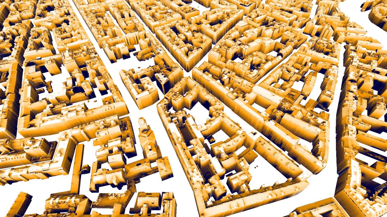
Evaluate solar energy potential on the entire building envelope - including roofs and facades, using detailed 3D city models.
- Solar irradiation analysis for roofs and facades
- Processing of large-scale CityGML datasets
- Monthly and annual solar potential estimates
- Meteorologically corrected radiation modelling
- Separation of total, direct, and diffuse irradiation
- Per-surface statistics for each roof and facade element
- Sunshine duration analysis
- Scalable from municipalities to statewide projects
- Digital Surface Model (DSM)
- CityGML building model (LOD2 recommended)
- Textured CityGML models
- Irradiation textures (total, direct, diffuse)
- Sunshine duration textures
- Monthly and annual solar irradiation datasets
- Per-polygon statistics for all roof and facade surfaces
- Seasonal and annual aggregation products
- Urban solar cadastres including both roofs and facades
- Assessment of building-integrated photovoltaics (BIPV) on roofs and facades
- Identification of suitable facade surfaces for PV or solar thermal systems
- Urban energy master planning and district-scale energy studies
- Optimization of solar installations in dense urban environments
- Evaluation of solar potential for existing and future 3D city models
- Support for architectural and urban design decisions regarding solar access
- Analysis of solar rights and shading impacts in complex urban settings
- Large-scale assessment of public and private building stocks
- Interactive 3D web portals and digital twins providing solar information to citizens, planners, and decision makers
- Climate-neutral city strategies by maximizing the use of available building surfaces
- Scenario analysis for urban redevelopment projects and new districts

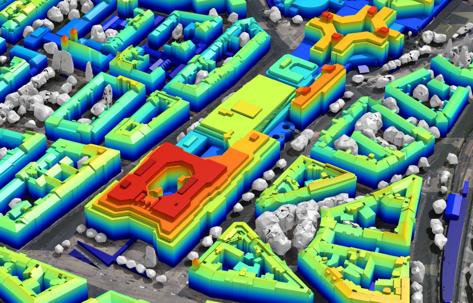
Urban Heat Mitigation Analysis
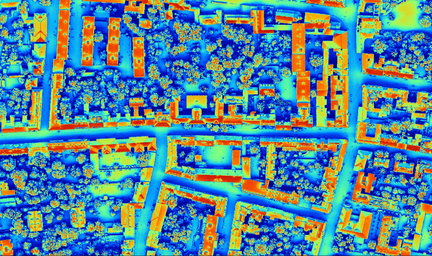
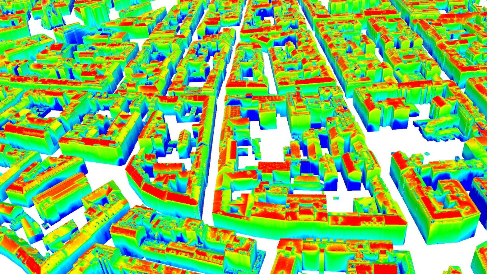
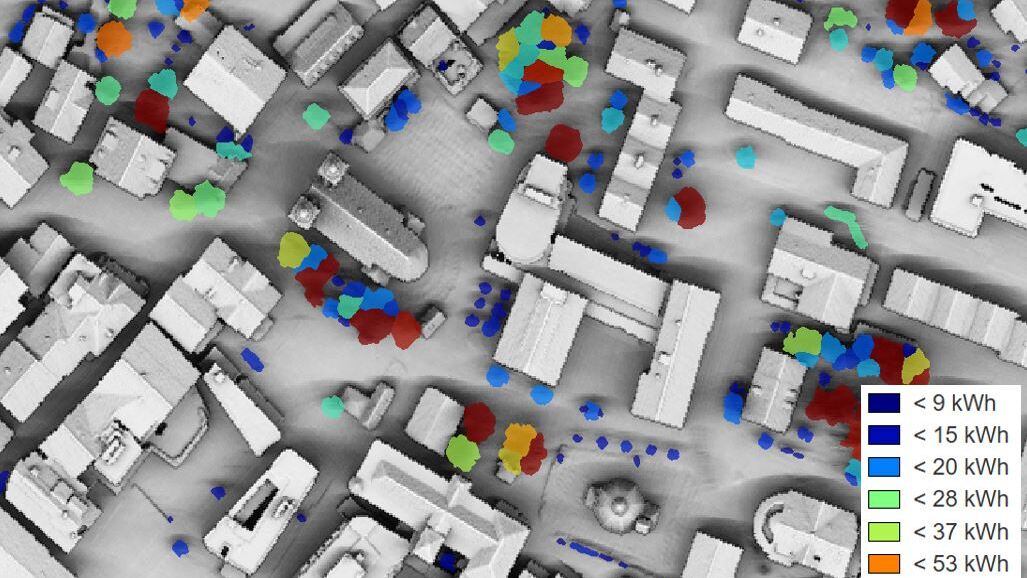
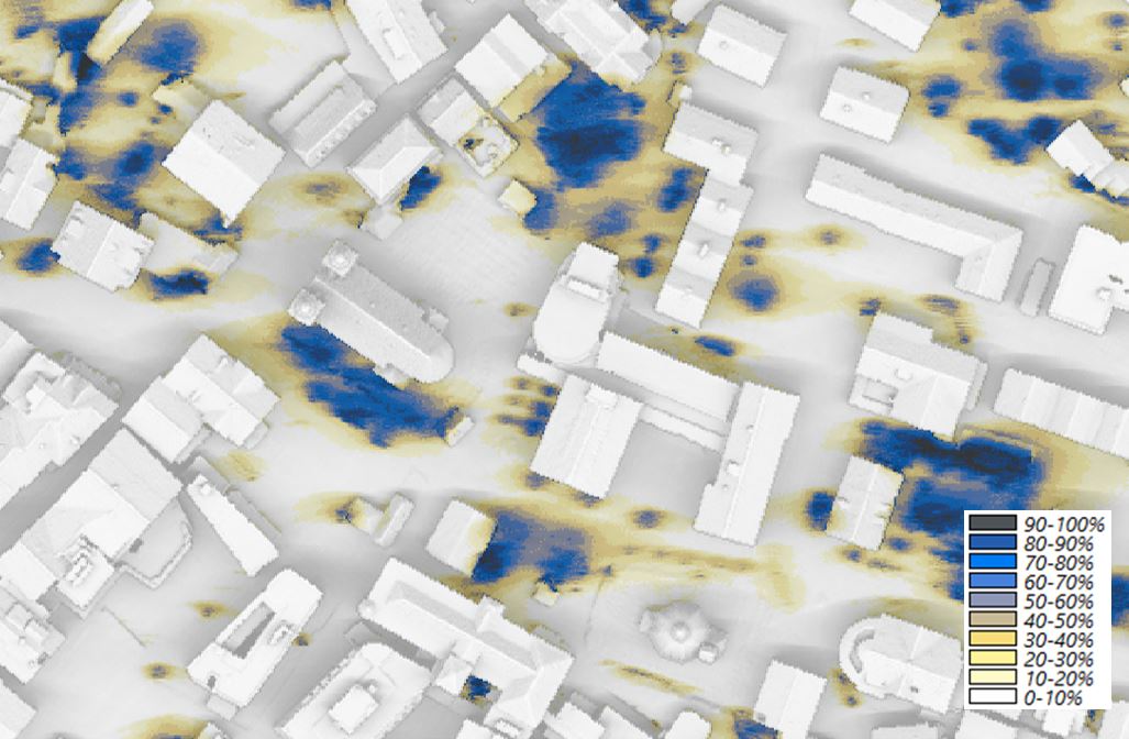
Assess the cooling benefits of urban vegetation by quantifying solar exposure and shading during representative heat days. Identify areas with high heat stress and evaluate where trees provide the greatest reduction in heat exposure.
- Simulation of solar exposure for representative heat-day scenarios
- Detailed modelling of shading from buildings, terrain, and vegetation
- Semi-transparent vegetation representation derived from classified LiDAR point clouds
- Identification of areas with high solar load and elevated heat stress potential
- Quantification of the cooling effect provided by urban trees and vegetation
- Comparison of solar exposure with and without vegetation
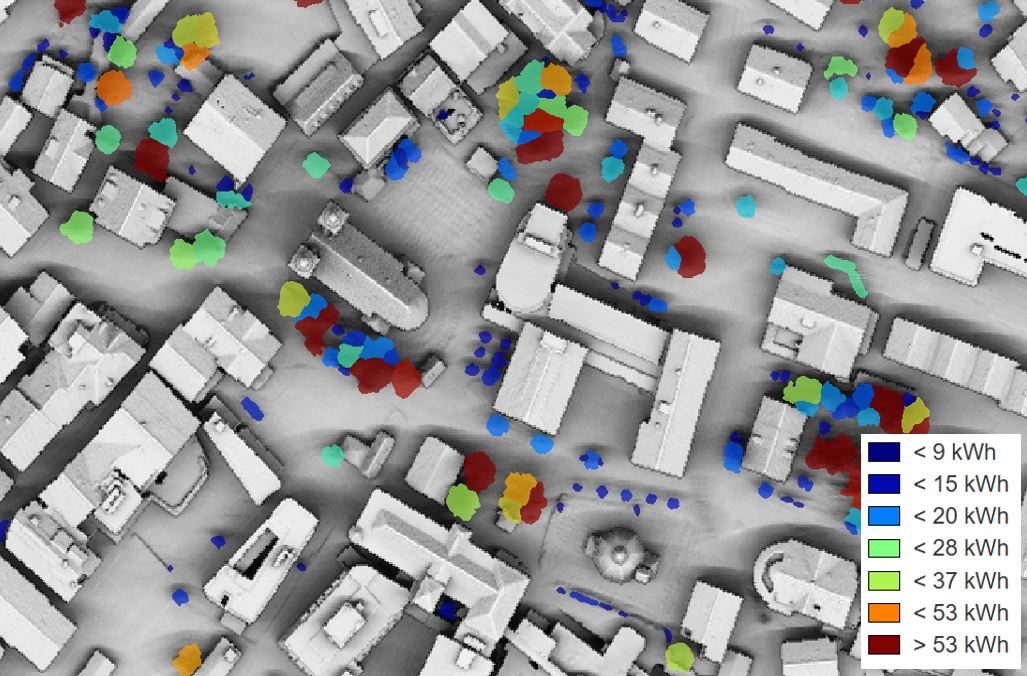
- Assessment of the contribution of individual trees to heat stress reduction
- Digital Surface Model (DSM)
- Classified LiDAR point cloud with vegetation classes
- Tree cadastre (tree crown polygons or tree inventory) (optional)
- Raster layers of cumulative solar irradiation for a representative heat day
- Heat exposure maps with and without vegetation
- Vegetation cooling effect maps showing reductions in incoming solar radiation
- Raster layers quantifying the shading contribution of vegetation
- Per-tree statistics on avoided solar radiation
- Ranking of trees according to their cooling contribution
- Spatial datasets supporting tree preservation and planting strategies
- Urban climate adaptation planning
- Heat action plans
- Identification of urban heat hotspots
- Green infrastructure planning
- Tree preservation and replacement strategies
- Climate-resilient urban development
Urban Tree Cadastre (2.5D)
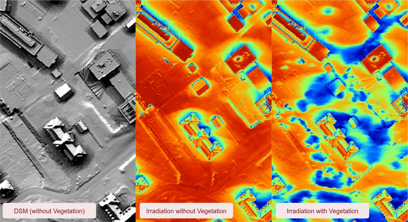
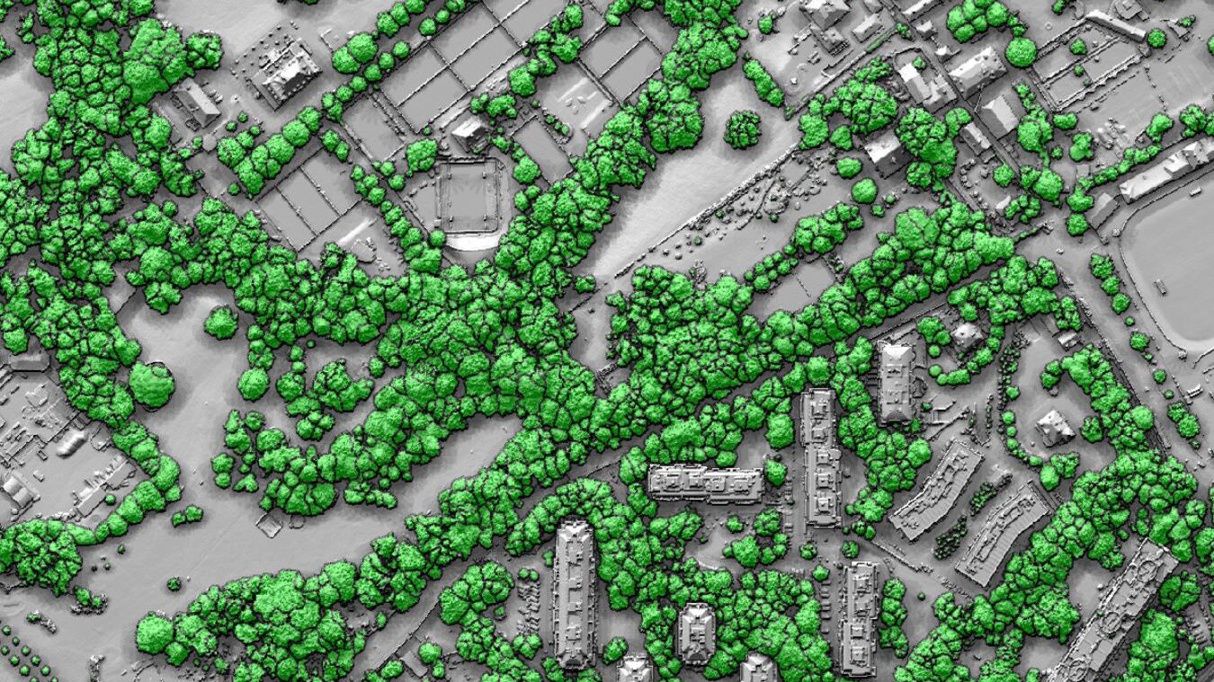
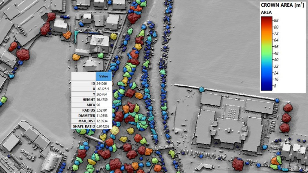
Generate comprehensive tree inventories from classified LiDAR data using efficient 2.5D analysis. Optimized for large-scale processing of airborne LiDAR datasets, the 2.5D method delivers reliable tree delineation for municipalities, regional authorities, and statewide vegetation mapping projects.
- Automated detection of individual trees from classified LiDAR point clouds
- Large-scale processing from city to state level
- Robust delineation of tree crown extents in 2.5D
- Extraction of key geometric tree characteristics
- Consistent and scalable processing workflows for extensive areas
- Ideal for establishing or updating municipal tree inventories
- Classified LiDAR point cloud containing vegetation classes
- Tree position point layer
- Tree crown polygon layer
- Tree height attributes
- Crown area attributes
- Crown diameter attributes
- Standard GIS formats (e.g., GeoPackage, Shapefile, File Geodatabase)
- Municipal tree inventories
- Regional and statewide tree mapping
- Urban green infrastructure management
- Monitoring of urban canopy cover
- Baseline datasets for climate adaptation strategies
- Environmental reporting and sustainability assessments
- Support for urban planning and green space management
3D Tree Cadastre
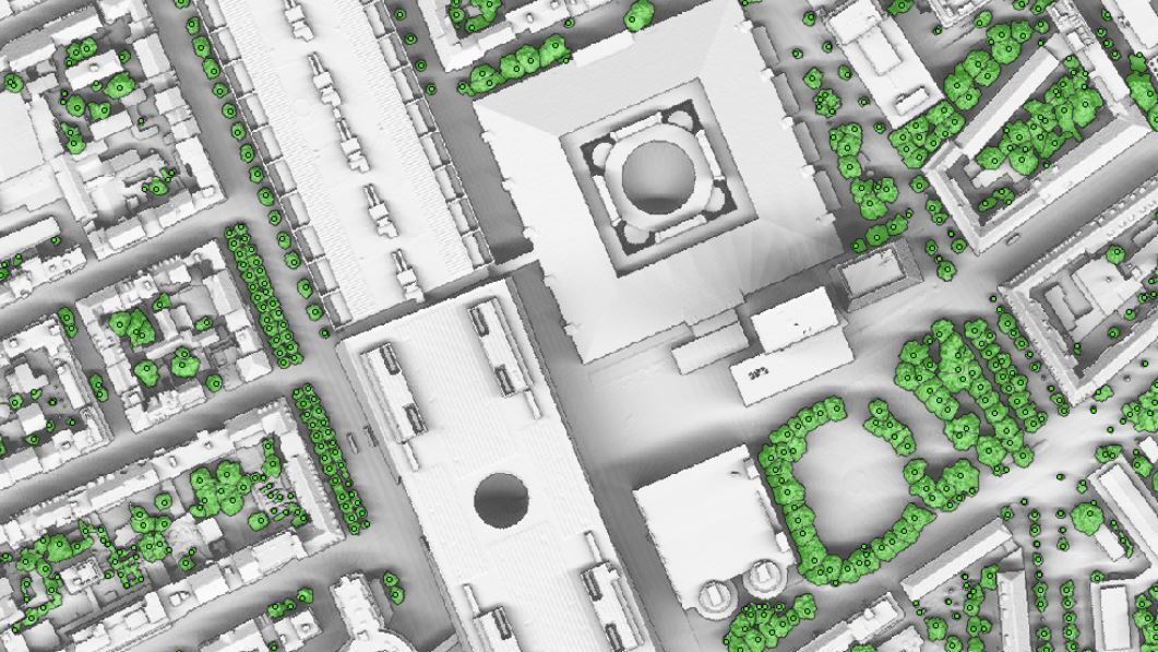
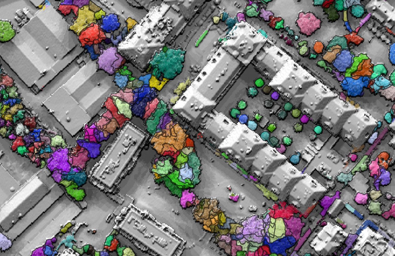
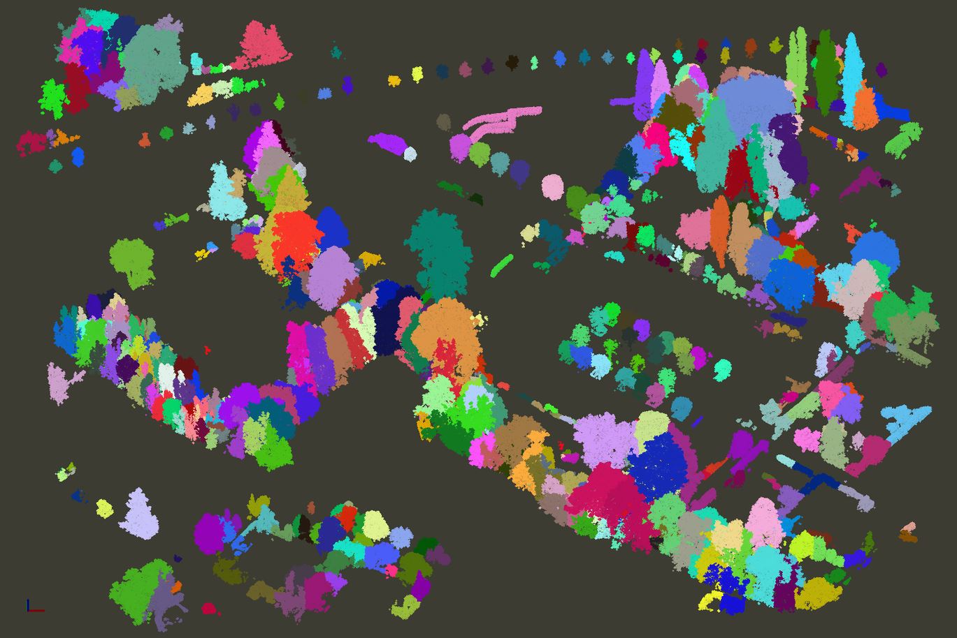
Create highly detailed tree inventories using full 3D single-tree segmentation. Ideal for high-density point clouds, the 3D method is the preferred choice when accurate separation of overlapping tree crowns is required. Powered by our custom 3D segmentation, it accurately delineates individual trees, even in dense urban and forest canopies with overlapping crowns.
- Individual tree detection and segmentation in full 3D
- Reliable separation of overlapping and interlocking crowns
- improved tree positioning
- Suitable for dense urban environments and complex vegetation structures
- Utilizes high-density LiDAR datasets for maximum accuracy
- Optional integration of existing tree inventories and tree locations
- Scalable processing from municipalities to statewide projects
- High-density classified LiDAR point cloud
- Existing tree cadastre or tree position layer (optional)
- Tree position point layer
- Individual tree crown polygons
- Tree height attributes
- Crown area attributes
- Crown diameter attributes
- Enhanced tree geometry and segmentation products
- Standard GIS formats (e.g., GeoPackage, Shapefile, File Geodatabase)
- High-accuracy municipal tree inventories
- Inventory updates in densely vegetated urban areas
- Urban digital twin and smart city applications
- Urban climate and ecosystem service assessments
- Tree asset management and maintenance planning
- Monitoring of urban canopy structure and change
- Integration with existing tree management systems
- Research and environmental monitoring projects
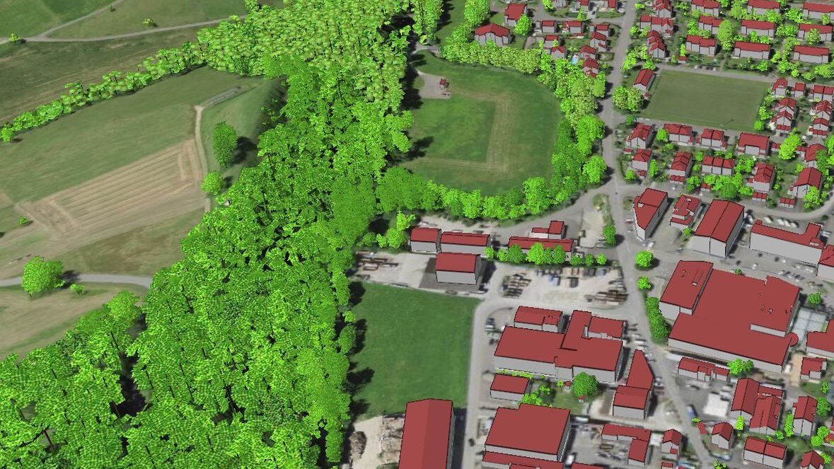
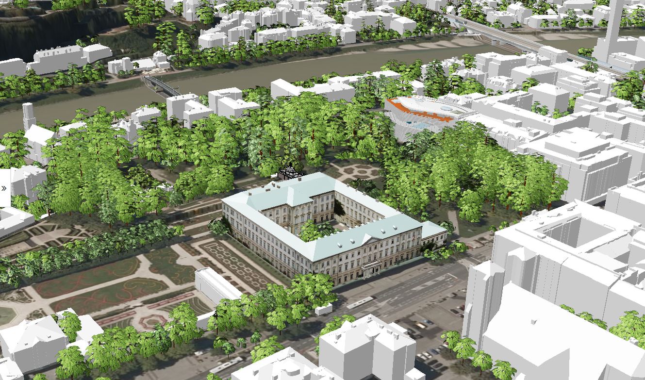
Obtain detailed 3D tree models as mesh or vector representations derived directly from LiDAR data. Based on individual tree geometry and point cloud characteristics, the models provide realistic-looking structural representations for visualization, digital twins, and modeling applications.
Additional Deliverables- Individual 3D tree models (CityGML, CityJSON, OBJ or 3D Shapefile)
- Urban digital twins
- Urban climate and heat studies
- Visualization and virtual city environments
- Integration into CityGML, CityJSON, or visualization workflows
- Shadow and solar analyses
- Green infrastructure assessment
LOD2 Building Model Generation
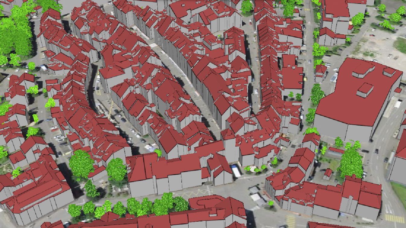
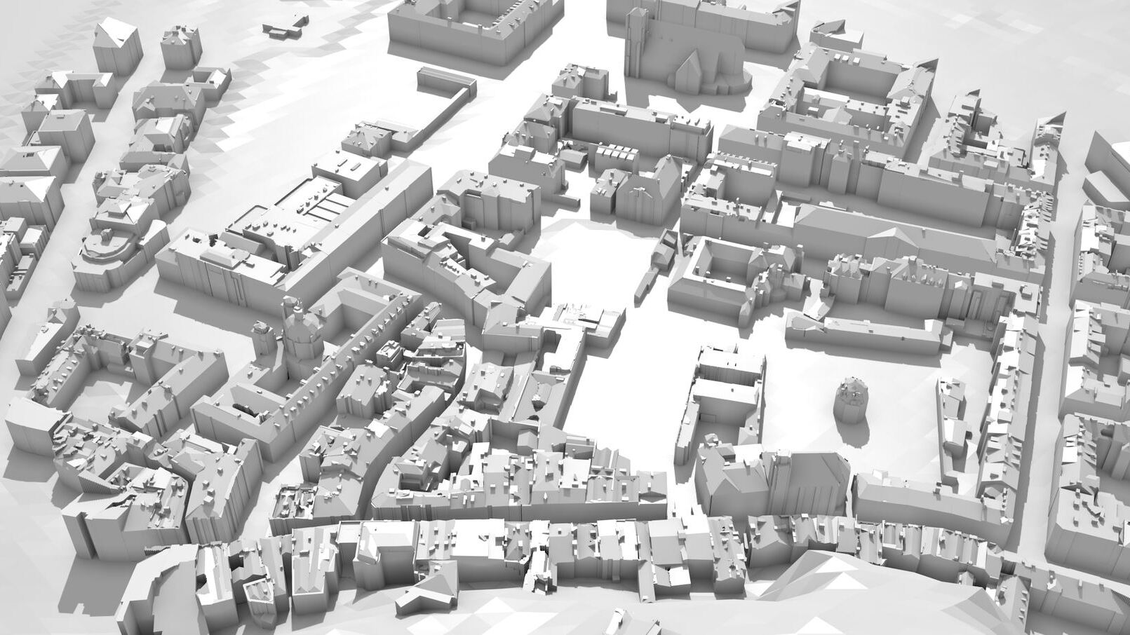
Create large-scale, watertight LOD2 building models from classified LiDAR point clouds for digital twins, urban planning, and geospatial analysis. Deliver consistent 3D city models for entire municipalities, regions, or states.
- Automated generation of watertight LOD2 building models
- Processing of classified LiDAR point clouds at city to statewide scale
- Extraction of detailed roof geometries and building structures
- Generation of topologically consistent and analysis-ready 3D models
- Optional integration of cadastral building footprints for footprint-accurate reconstruction
- Compatible with digital twin, smart city, and GIS workflows
- Optional generation of complementary 3D tree models
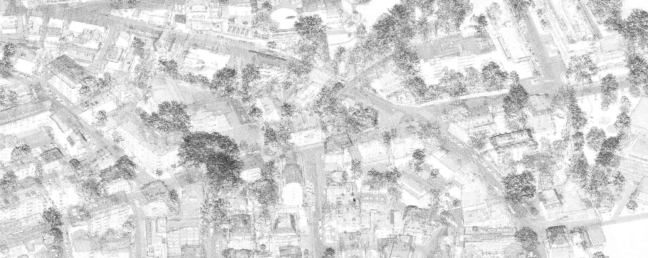
- Classified LiDAR point cloud
- Building footprint polygons (cadastre data) for footprint-correct reconstruction (optional)
- Watertight LOD2 building models
- Standard 3D formats: CityGML, CityJSON, OBJ, 3D Shapefile
- Per-building statistics including: Building height, eave and ridge heights, above-ground building volume, building footprint area
- Creation and maintenance of municipal or statewide 3D city models
- Digital twin initiatives
- Urban and regional planning
- Smart city applications
- Solar potential and energy analyses
- Flood, visibility, and environmental simulations
- Telecommunications and line-of-sight analyses
- Building stock analysis and urban development studies
- Emergency and disaster management
- Visualization and web-based 3D city portals
Enhance city models with detailed 3D tree models as mesh or vector representations derived directly from LiDAR data. Based on individual tree geometry and point cloud characteristics, the models provide realistic-looking structural representations for visualization, digital twins, and modeling applications.
Additional Deliverables- Individual 3D tree models (CityGML, CityJSON, OBJ or 3D Shapefile)
- Urban digital twins
- Urban climate and heat studies
- Visualization and virtual city environments
- Integration into CityGML, CityJSON, or visualization workflows
- Shadow and solar analyses
- Green infrastructure assessment